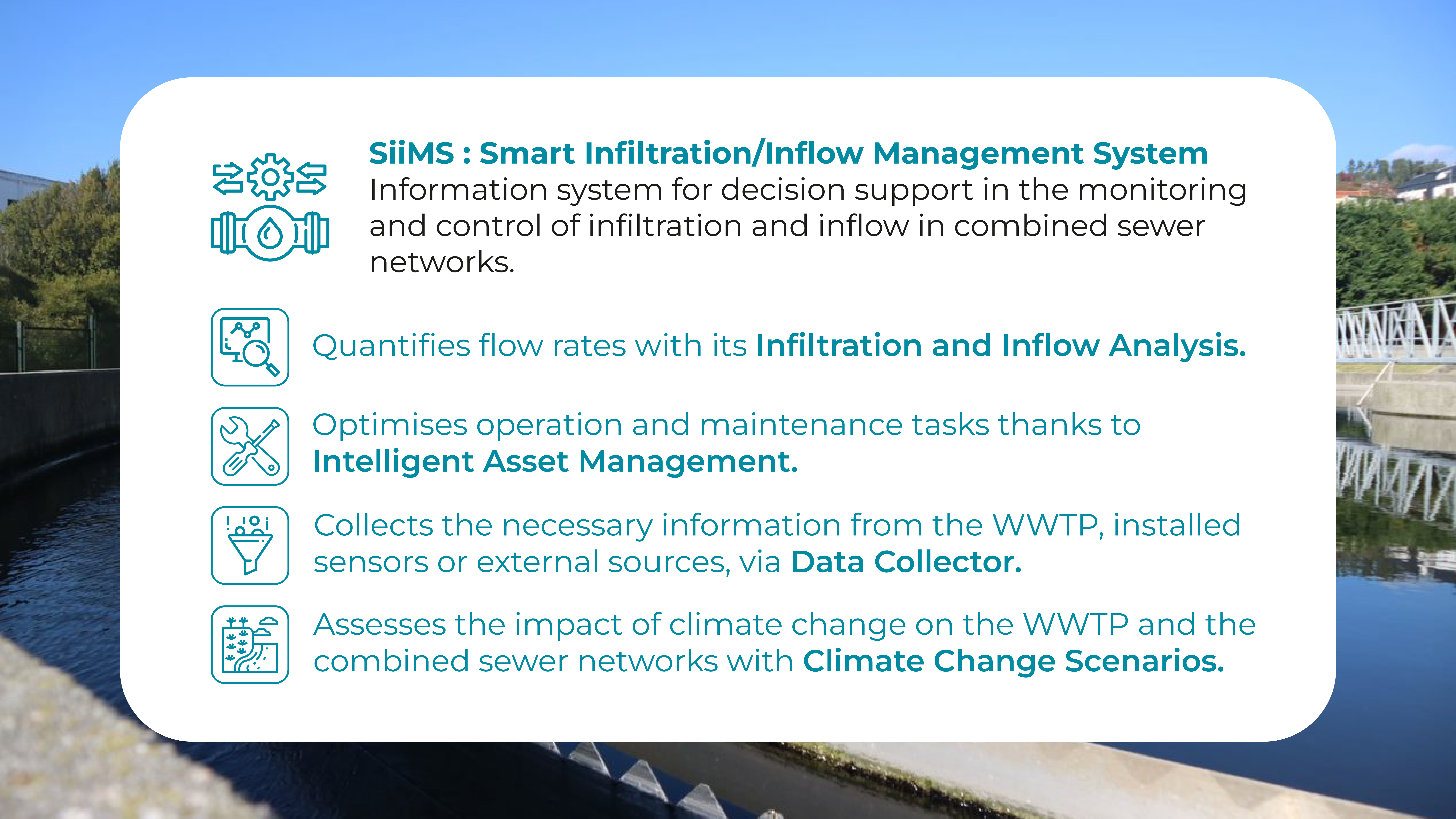
The SiiMS platform has been designed as a tool to help improve the management of sewerage infrastructures in areas of heavy rainfall. Its objectives include increasing the existing knowledge on the presence of inflows and infiltrations, promoting more efficient asset management and assessing the impact of different climate change scenarios on current infrastructures.
To achieve these three objectives, the platform consists of five modules:
Infiltration / Flow Analysis Viewer: This Analysis Viewer is the first functional module that allows users to assess the infiltration and inflows into the sewer network and control points (e.g. pumping stations, manholes, discharge points…) in the sewer network from the monitored data and available simulations to estimate their quantity, ratio (infiltration-flow) and distribution. The system will allow the evaluation of the most relevant parameters influenced by I/I in WWTP in real time, based on received and simulated data, with models available for future scenarios (e.g. rainfall, sanitary inflows, infiltration, tides…).
The second module of SiiMS is called “Intelligent Asset Management”. It provides a set of tools designed to support infrastructure asset management. With these tools, users can verify characteristics, operation and maintenance, as well as report incidents. In addition, they can manage models that describe the performance of the infrastructure using the characteristics and parameters that are monitored. Its functionalities are grouped into:
- Improved Operation and Maintenance: includes a series of tools aimed at improving the Operation and Maintenance of the sewer infrastructure. It consists of three distinct parts: Infrastructure, Incidents and Maintenance.
- The Infrastructure set of functionalities consists of providing detailed information about the sewerage network. It consists of a catalogue of the components of the sewerage network that displays the information on a map or in tables.
- The aim of the Incident feature set is to record and manage incidents identified in the sewer network in order to reduce the time required to resolve them. In addition, incidents can be created in an automated way from measured data or model results.
- The main functionality of the Maintenance tool is the CMMS, created to manage maintenance tasks through operations and ranges linked to the infrastructure asset manager through the platform’s GIS functionalities. In addition, it provides tools to suggest priority areas for intervention and risk maps based on infiltration/flow analysis.
Enhanced Infiltration/Flow Simulations: The objective is to manage the options of the AI models created for the network. Users have access to data and settings to choose the models applied to the simulations (e.g. to obtain the parameters and infiltration/flow rates) and also to manage other parameters of interest.
The third module corresponds to Climate Change Scenarios: It aims to support the assessment of the expected impacts of climate change on WWTPs and CSNs. The functionalities are grouped in an Infiltration/Flow simulation viewer including climate change models. The results of the simulations will be displayed on a GIS map, while the different climate change scenarios will be evaluated taking into account the capacity of the sewer network, its singular components and the estimated distribution of combined sewer overflow (CSO) events.
The fourth module is the Data Collector: The main purpose of this module is to deal with the data sources connected to SiiMS and to provide complementary tools for visual analysis of the data by means of graphs, dashboards, diagrams, etc.
The fifth module is the Platform Management itself: The main functionality of this module is the inclusion of new municipalities in the platform. Each municipality can include, in turn, districts or urban nuclei that compose it. In this way, the visualisation of the area to be analysed is facilitated and the area in which the information is expected to be geographically located is established.

